DJI Puts Drones to the Test on the World's Highest Peak, Advancing Critical High-Altitude Delivery, Mapping, and Climate Research Applications
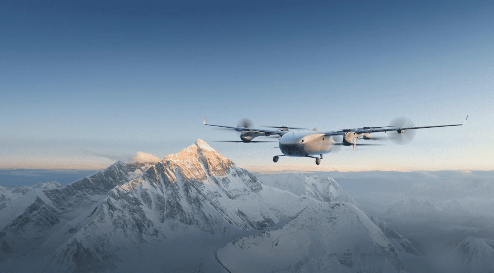
DJI, the global leader in civilian drones and creative camera technology, has successfully completed three missions on Mount Qomolangma (Mount Everest), marking new milestones in high-altitude drone delivery, mapping, and atmospheric research. The operations featured the newly launched DJI FlyCart 100 for cargo delivery and the DJI Matrice 4E for mapping on the mountain's South Slope in Nepal, while DJI's first eVTOL delivery drone, EV50, supported long-range, high-altitude transport for atmospheric chemistry research on the North Slope in China.
The achievements build on DJI's long-standing efforts to advance drone technology in one of the world's most challenging environments. In 2009, the company tested an unmanned helicopter equipped with its self-developed XP3.1 flight control system on the mountain, followed by successful operations above 4,700 meters using the DJI Ace One flight control system in 2010. In 2022, a DJI Mavic 3 became the first drone to capture footage from the summit at an altitude of 8,848.86 meters. Two years later, the DJI FlyCart 30 completed the world's first drone delivery trials between Everest Base Camp and Camp 1 on the South Slope, paving the way for the latest advancements.
"Our team remains dedicated to making the world's highest mountain safer and cleaner for Sherpas and mountaineers worldwide," said Christina Zhang, spokesperson for DJI. "The success of our latest operations marks a proud milestone, and we hope our ongoing collaboration with the scientific community will further advance drone technology—saving lives and supporting conservation efforts across the globe."
High Altitude Drone Delivery Transports 10,073 kg in Supplies and Waste
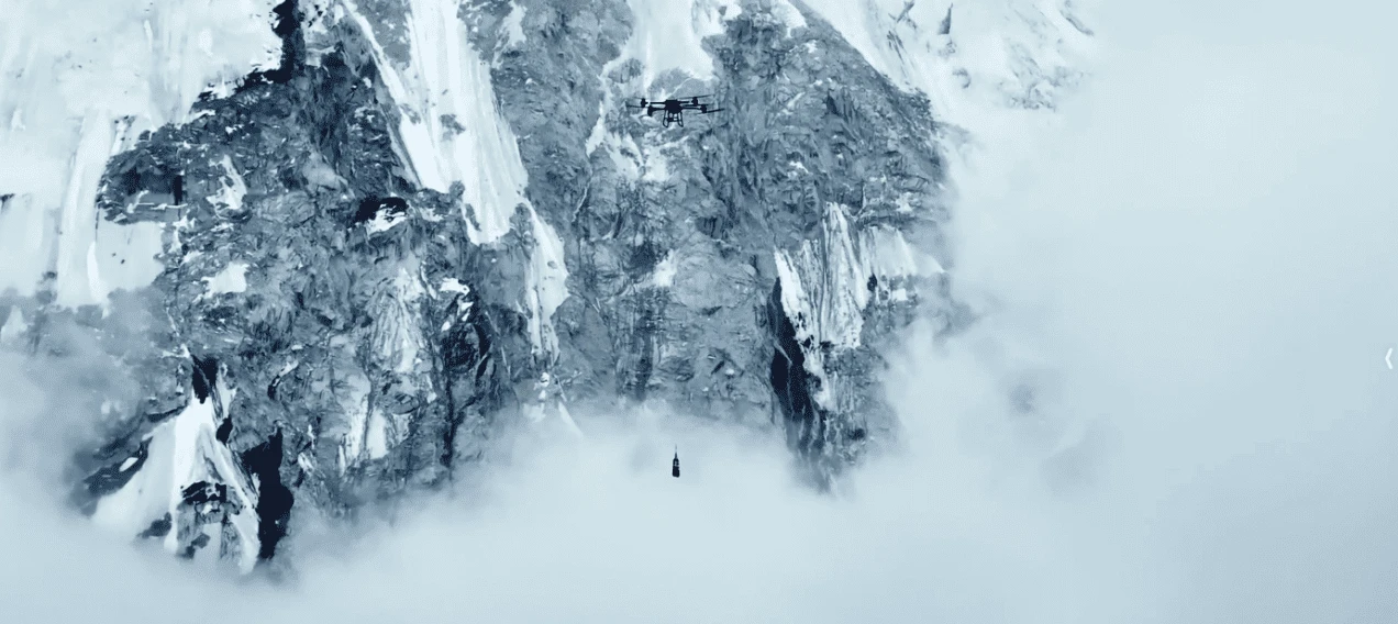
DJI's FlyCart 100 is a high-capacity delivery drone capable of transporting payloads of up to 100 kg at sea level while offering greater range and improved power efficiency. Working with Nepalese drone operator Airlift, DJI conducted high-altitude trials to evaluate the drone's payload capacity, transmission range, RTK positioning accuracy, signal stability, and battery performance in extreme temperatures ranging from -15°C to 5°C. During the tests, the drone transported essential climbing equipment—including oxygen cylinders, ropes, ladders, and other expedition supplies—between Everest Base Camp and Camp 1.
The trials demonstrated the FlyCart 100's ability to carry payloads of up to 47 kg at altitudes exceeding 6,300 meters. Over the course of the testing, the drone transported a total of 10,073 kg of cargo, including 7,215 kg of climbing supplies and 2,858 kg of waste removed from the mountain. Each one-way flight took approximately eight minutes, significantly reducing a journey that typically requires Sherpas to spend six to eight hours crossing the hazardous Khumbu Icefall on foot.
Looking ahead, the FlyCart 100 is expected to support Nepal's mountaineering community by transporting around 5,000 oxygen cylinders each climbing season between Base Camp and Camp 1. On return flights, the drone will help remove an estimated 10,000 kg of waste from higher camps, contributing to cleaner climbing routes and supporting the Nepal Mountain Association's "Zero Waste Initiative 2027." Since each climber leaves an average of 8 kg of waste on the mountain, the initiative represents a significant step toward improving the sustainability of Everest expeditions.
Enabling High-Altitude Glacier Mapping Deployment for Mountaineering Safety
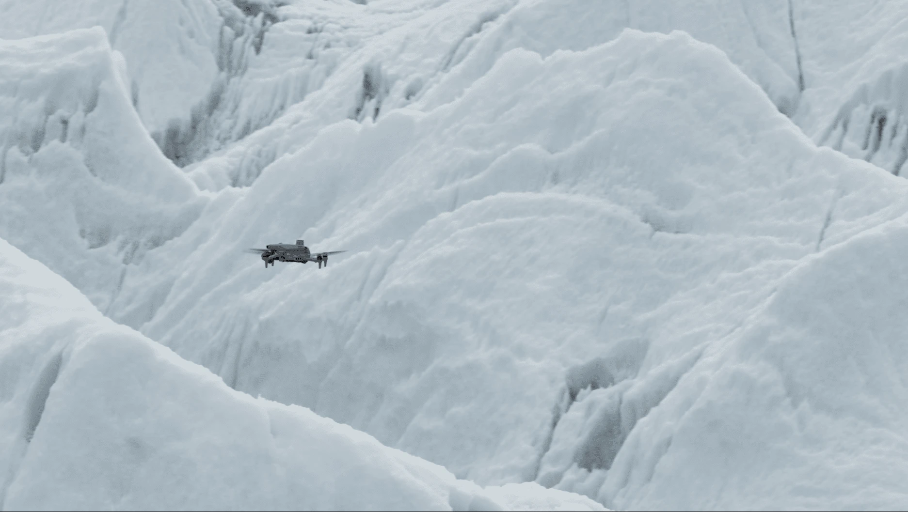
During the Spring 2026 climbing season, DJI also tested the Matrice 4E in the extreme high-altitude conditions of Mount Everest to capture high-resolution glacier data. Equipped with intelligent multi-sensor technology, the compact enterprise drone operated successfully at elevations of up to 6,450 meters in temperatures below -20°C. It mapped more than 3 km² of the Khumbu Icefall—including Everest Base Camp, the icefall, and areas above Camp I—with centimeter-level accuracy in just 3.5 hours, dramatically reducing the time required for traditional surveys.
The mapping data provided real-time hazard monitoring, supported safer route planning, enabled faster movement across the mountain, and enhanced search-and-rescue preparedness. The drone's integrated Laser Range Finder also delivered precise distance and terrain measurements, allowing teams to accurately identify and share the locations of potential hazards. During rescue missions, the Matrice 4E can act as an aerial support tool, using its intelligent detection capabilities to locate people and identify movement against the snow-covered landscape.
DJI Matrice 4E will continue to play a critical role in improving mountaineering safety, providing climbing teams with the data they need to make smarter, safer decisions in the extreme environment on the world’s highest peak. “While glacier mapping and satellite monitoring have been used in different parts of the world, what we are doing in Nepal is unique because of the level of detail, operational application, and real-time safety focus for mountaineering,” said Raj Bikram Maharjan, CEO at Airlift Technology. “To our knowledge, this is the first deployment of its kind in Nepal, and potentially one of the first real-world operational uses globally at this scale in a high-altitude expedition environment.”
Aiding High-Altitude Scientific Research on Climate Change
In support of the scientific community, DJI tested its first eVTOL delivery drone, DJI EV50, to conduct fine-scale observations of atmospheric pollutants in the ultra-high-altitude troposphere. Over 12 days, ozone-measuring equipment from the College of Environmental Sciences and Engineering at Peking University was transported 12 times from the mountaineering base camp in the Qomolangma National Reserve. Spiral ascents and reciprocating flight patterns were performed to navigate the complex winds and harsh flying conditions. The most successful flight reached a maximum flight altitude of 8,861 m with a maximum continuous climb of 3,730 m. This operation also marked the first time the university's researchers used drones to conduct high-altitude troposphere observations for related atmospheric research.
Making the Future of Mountaineering Safer
For 20 years, DJI has driven innovation in drone technology – from pioneering the modern camera drone to developing tools now used in agriculture, infrastructure, and public safety around the world. In 2026, we took our technology to the highest peak – not for a record, but to protect our planet. DJI remains committed to working with local partners, mountaineering communities, and scientists to push the boundaries of what drone technology can do even in such extreme environments, in service of applications that support research, sustainability, and safety.
Availability
DJI FlyCart 100 is available for purchase through authorized DJI Delivery dealers. Learn more: https://www.dji.com/flycart-100
DJI Matrice 4 Series are available for purchase through authorized DJI Enterprise dealers. Learn more: https://enterprise.dji.com/matrice-4-series